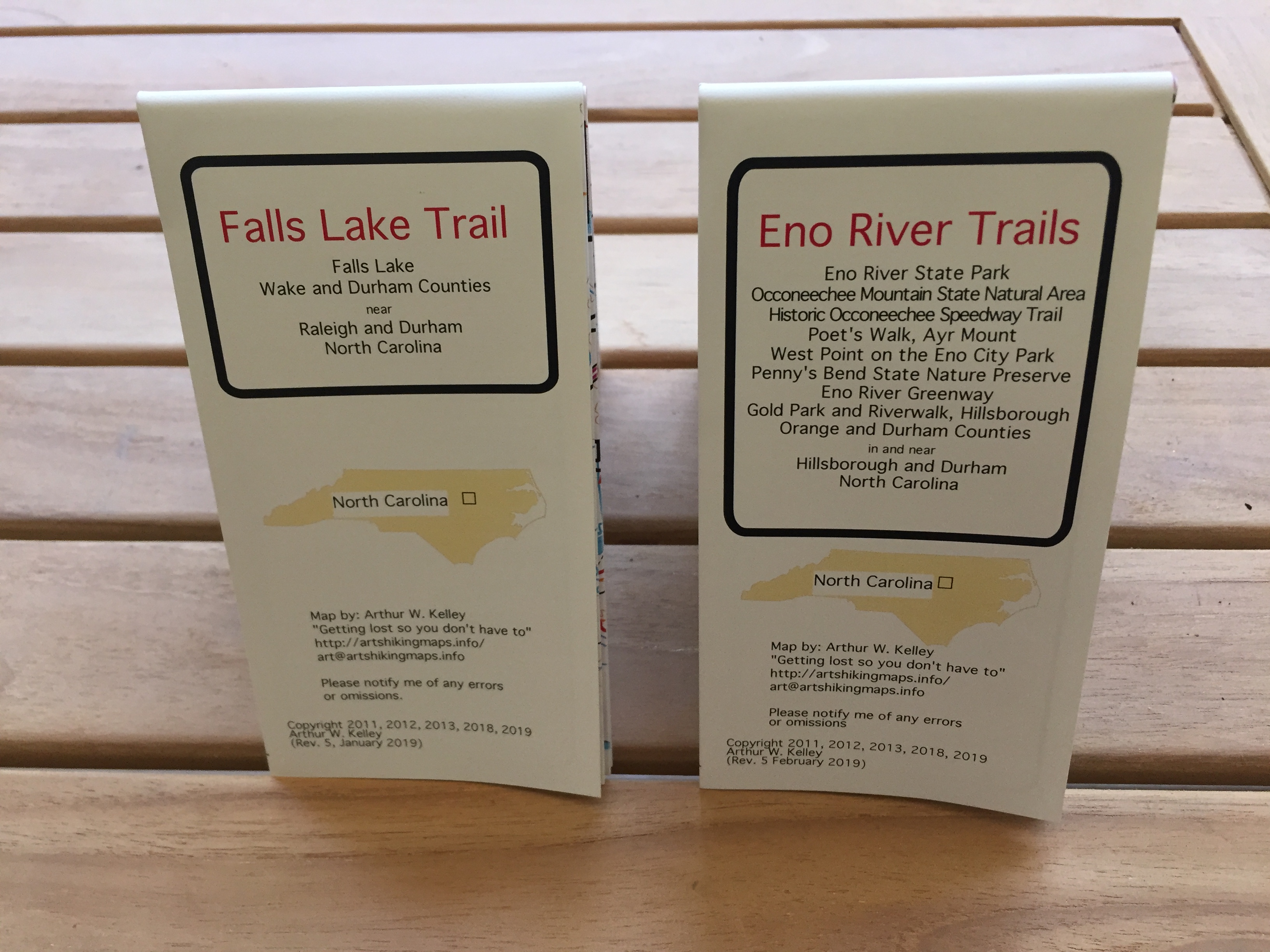
(Falls Lake shown, Eno River similar)
(Falls Lake shown, Eno River similar)
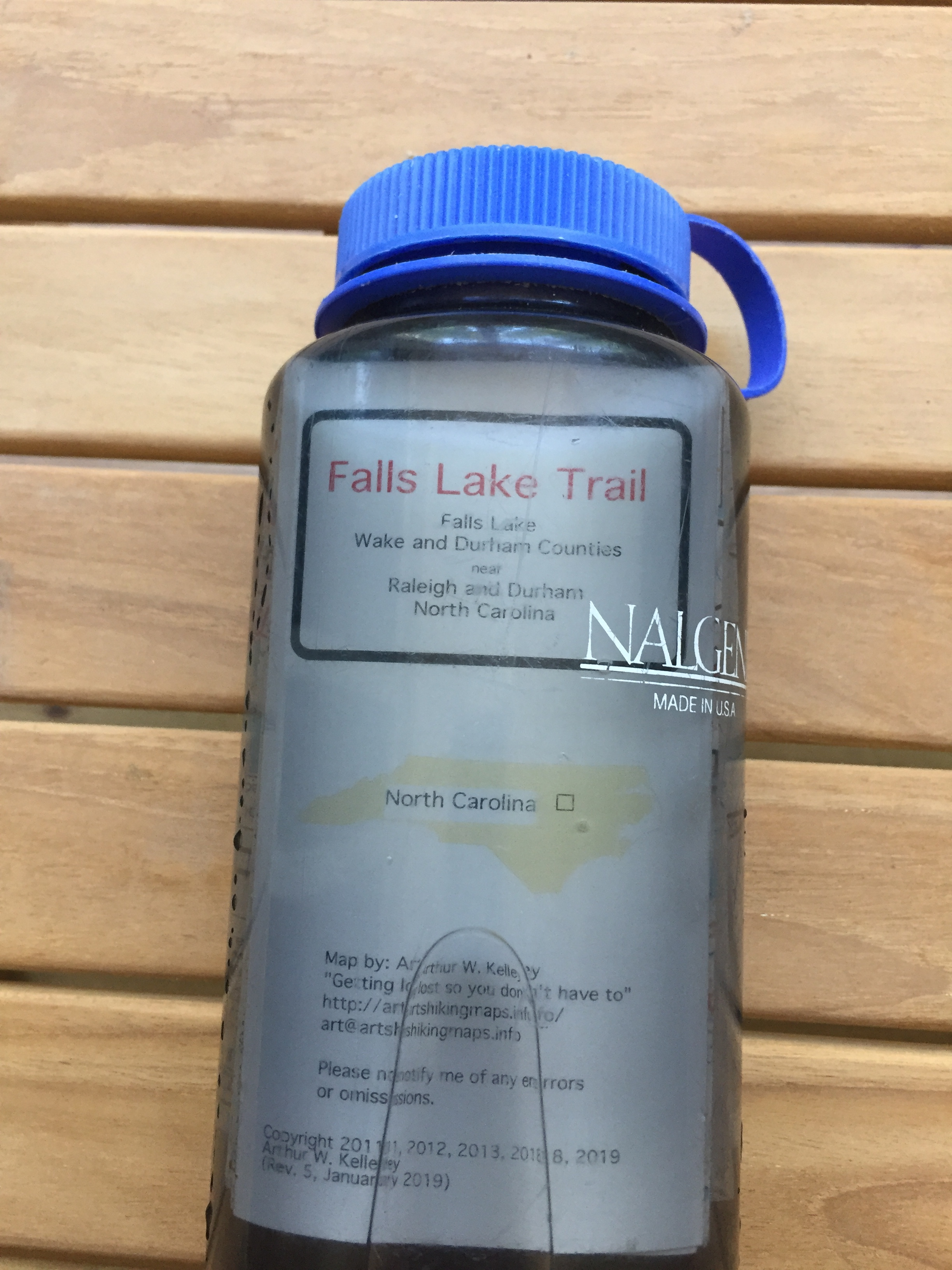
The weatherproof maps can be soaked in water without any damage
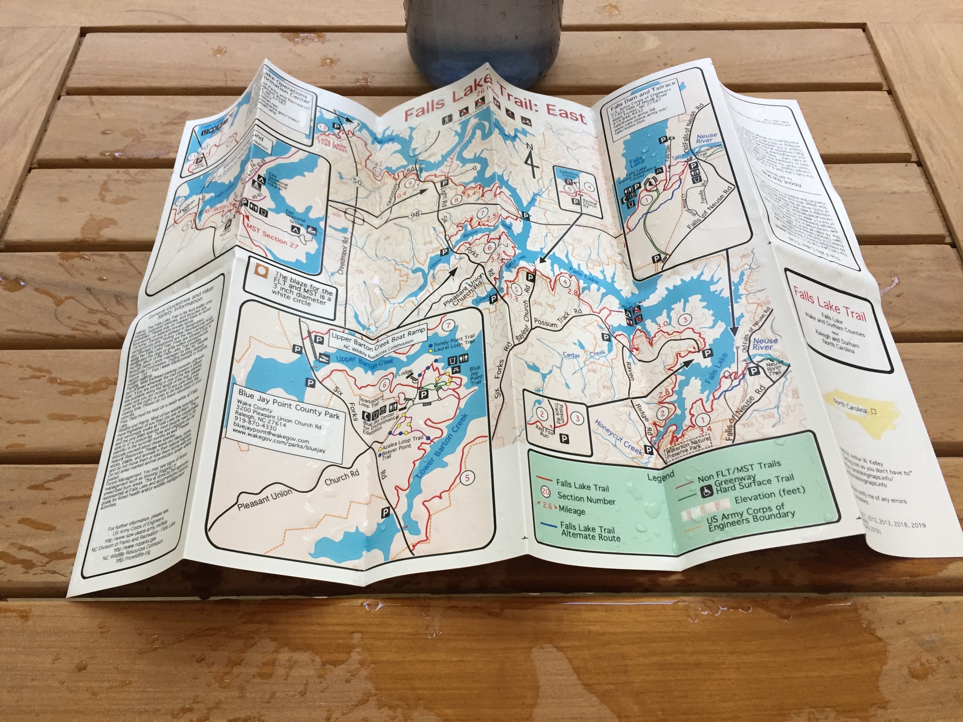
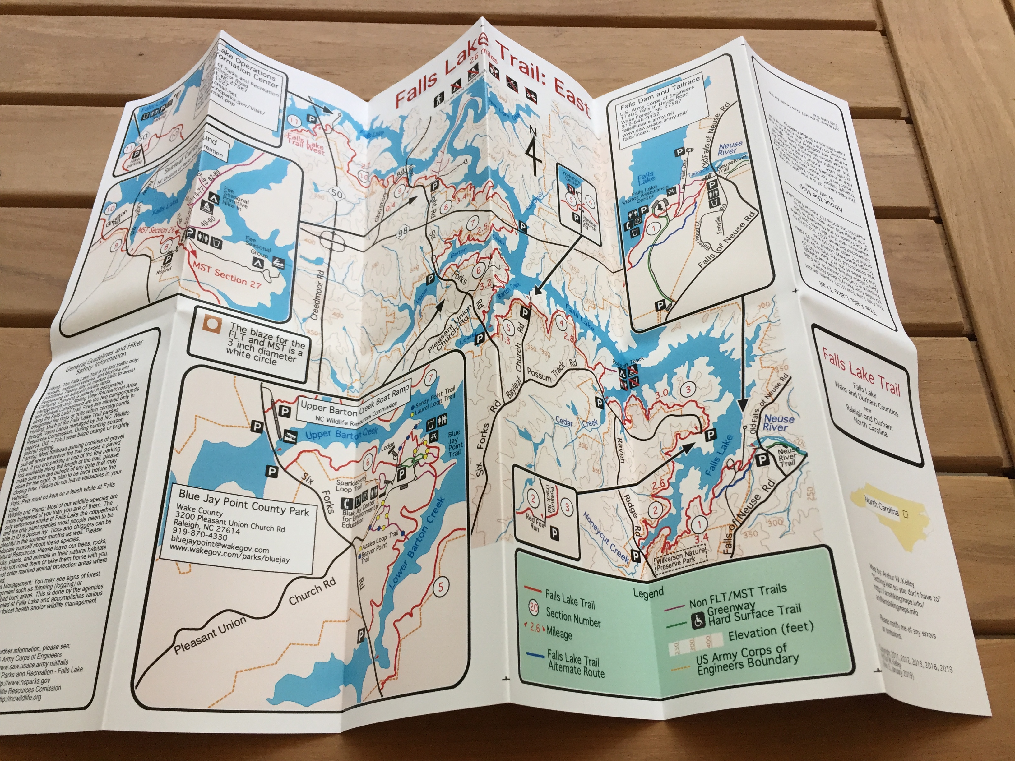
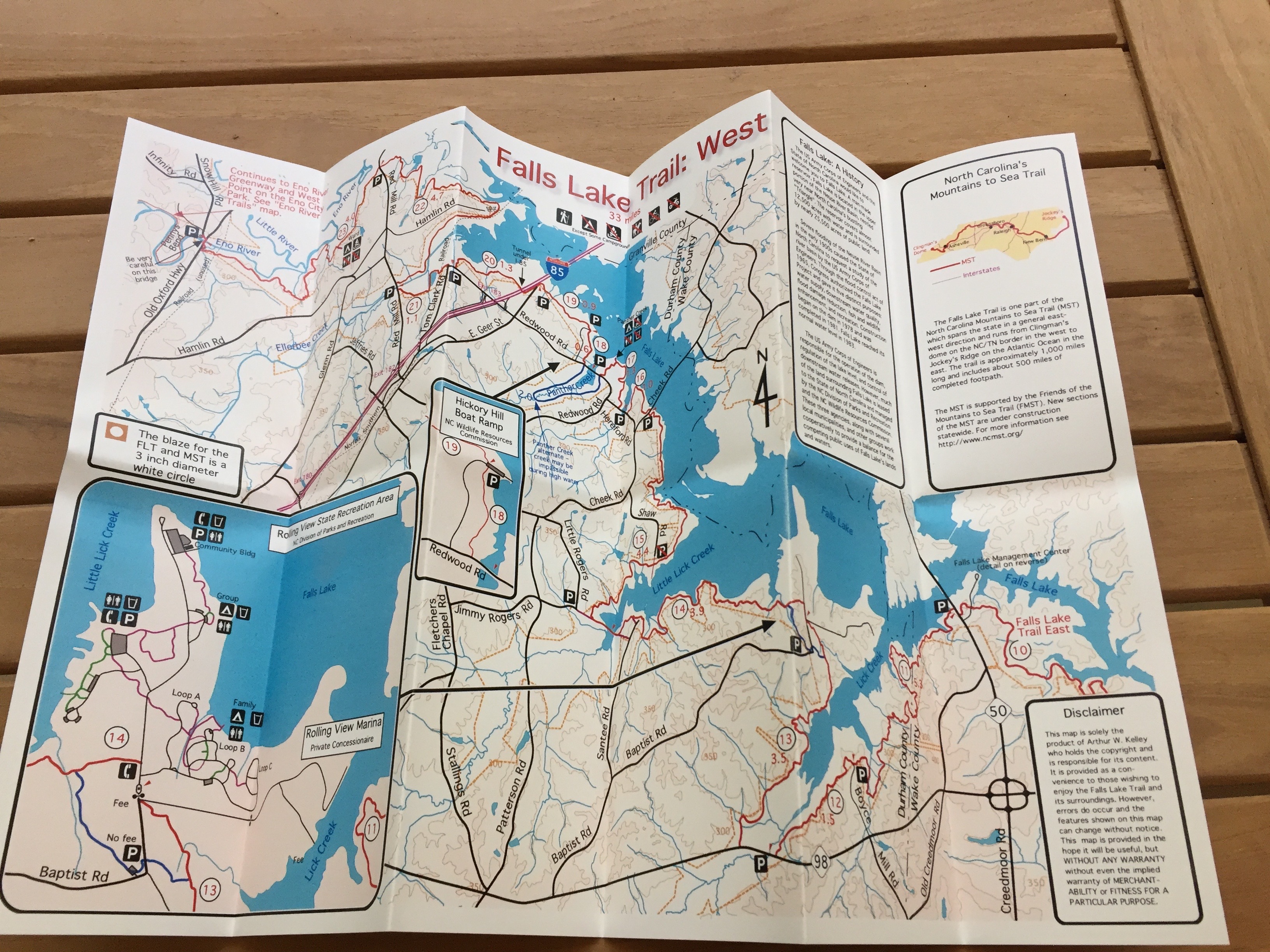
The Falls Lake Trail runs approximately 60 miles through Durham and Wake Counties in North Carolina following the south bank of the Eno River and the south shore of Falls Lake. The western end is at Old Oxford Highway near Penny's Bend on the Eno River in Durham. The eastern end is at Falls Lake Dam and Tailrace on Falls of Neuse Road north of Raleigh. The Falls Lake Trail is part of North Carolina's Mountains to Sea Trail.
The Eno River in North Carolina begins near Hillsborough in Orange County and empties into Falls Lake north of Durham in Durham County. The Eno River is surrounded by numerous hiking trails including:
Planning calls for these trails to be linked together by new trails and for the linked trails to form a segment of the North Carolina Mountains to Sea Trail.
| The maps are double sided and fold to a convenient size to fit in your pocket | ||
|---|---|---|
| Both maps | Front side (Falls Lake shown, Eno River similar) |
Back side (Falls Lake shown, Eno River similar) |
|
|
|
| The maps are available on plain paper or weatherproof paper. The weatherproof maps can be soaked in water without any damage |
||
| Weatherproof soaking in a Nalgene | After soaking - no damage | |
|
|
|
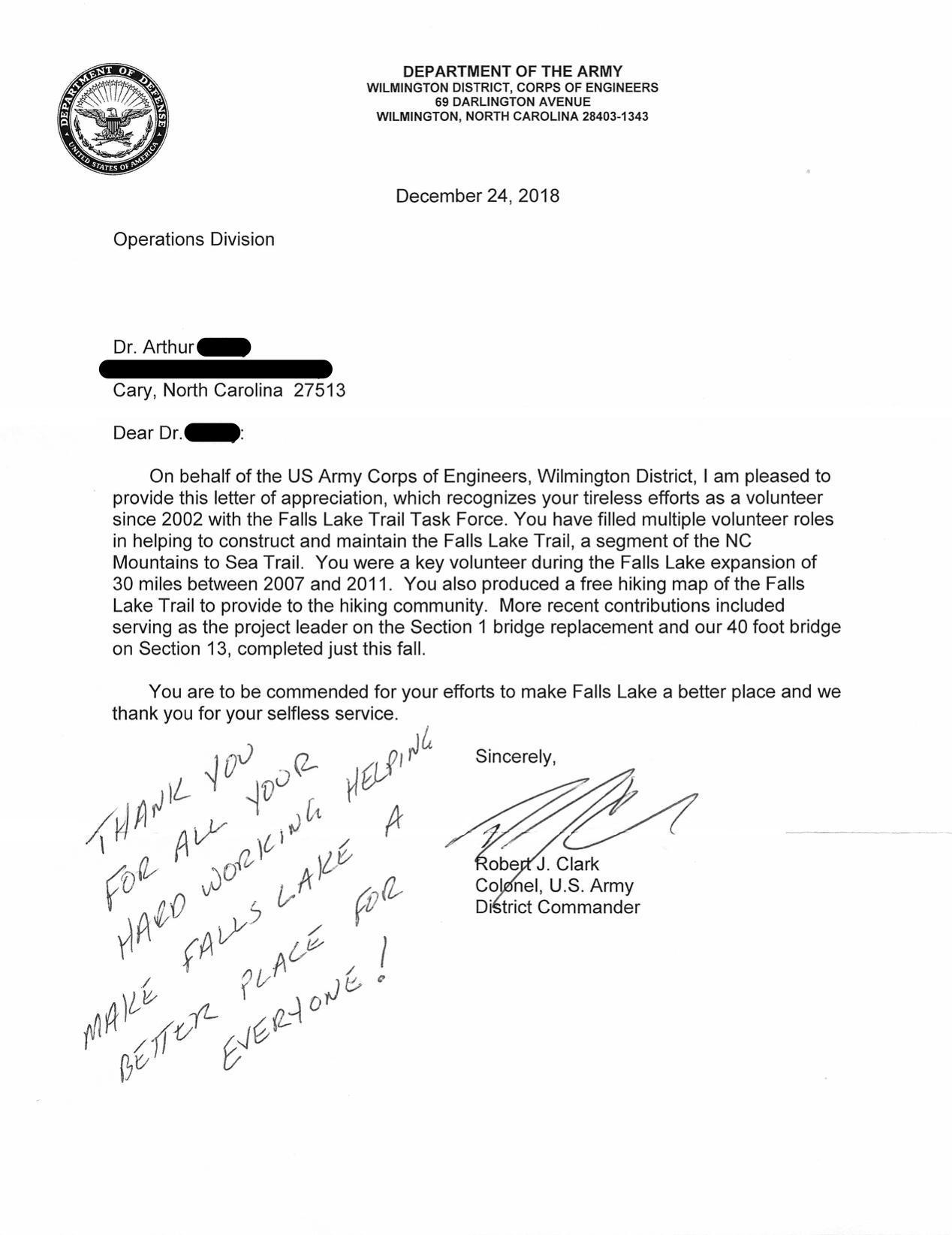
I was recently very pleased to have my efforts honored by the Army Corps of Engineers